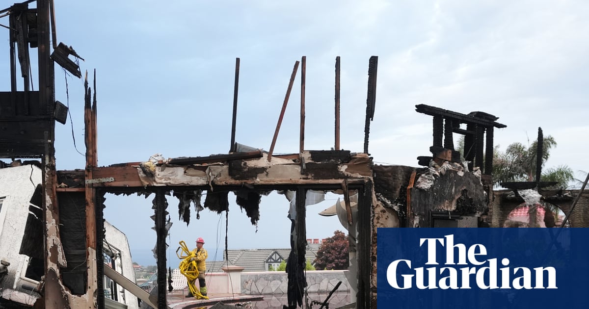

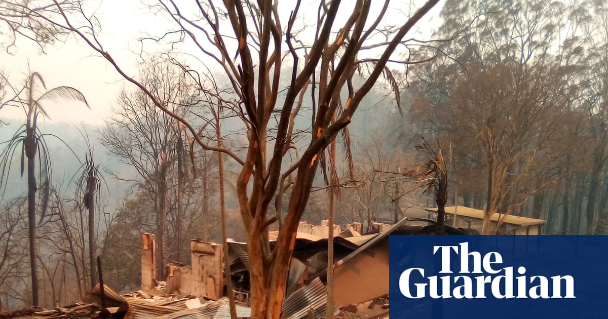
Almost every home destroyed in New South Wales during the black summer bushfires of 2019 and 2020 was located within the 100 metre buffer zone used to identify properties most at risk, according to new research. This study confirms the effectiveness of the risk maps utilized by authorities but warns that worsening fire conditions due to global heating may necessitate extending the recommended distances between homes and vegetation to ensure safety.
Key Findings
- 94% of the 2,475 homes lost in NSW were less than 100 metres away from flammable vegetation, such as trees.
- The 100 metre buffer is crucial for planning bushfire outreach activities and assessing the bushfire resistance of new homes and renovations.
Associate Professor Owen Price, an expert in bushfire risk at the University of Wollongong, led the research published in the International Journal of Wildland Fire. He stated, "Distance to vegetation is really important and that 100 metre rule that they apply is pretty good."
However, the research also analyzed fire danger ratings on the days when homes were lost. It found that during extreme or catastrophic conditions, homes located further than 100 metres were also affected. Price noted, "That’s a warning sign, because we know that index is going to get worse [from global heating]. We know the direction of travel."