

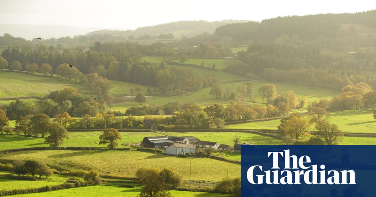
The UK government has not provided a timeline for when the public will gain free access to information regarding the ownership of large plots of land across England and Wales. This follows a commitment made in March by Emma Reynolds, the former Secretary of State for the Environment, to partially lift the paywall that currently restricts access to significant portions of the Land Registry data.
Background
Campaigners have long advocated for this change to enhance accountability among large landowners, especially concerning critical areas such as river catchments, grouse moors, and peatland. However, Reynolds did not specify a date for when the paywall would be removed. The Land Registry operates as an “arm’s length body,” which means it is a non-ministerial government department under the Ministry of Housing, Communities and Local Government.
In the land use framework outlined in March, the Department for Environment, Food and Rural Affairs (Defra) stated that it would work with HM Land Registry to provide access to free spatial land ownership data for larger properties, which would cover most of England and Wales, excluding nearly all homeowners. This process may necessitate a further public consultation, in addition to the one that preceded the land use framework.