Introduction
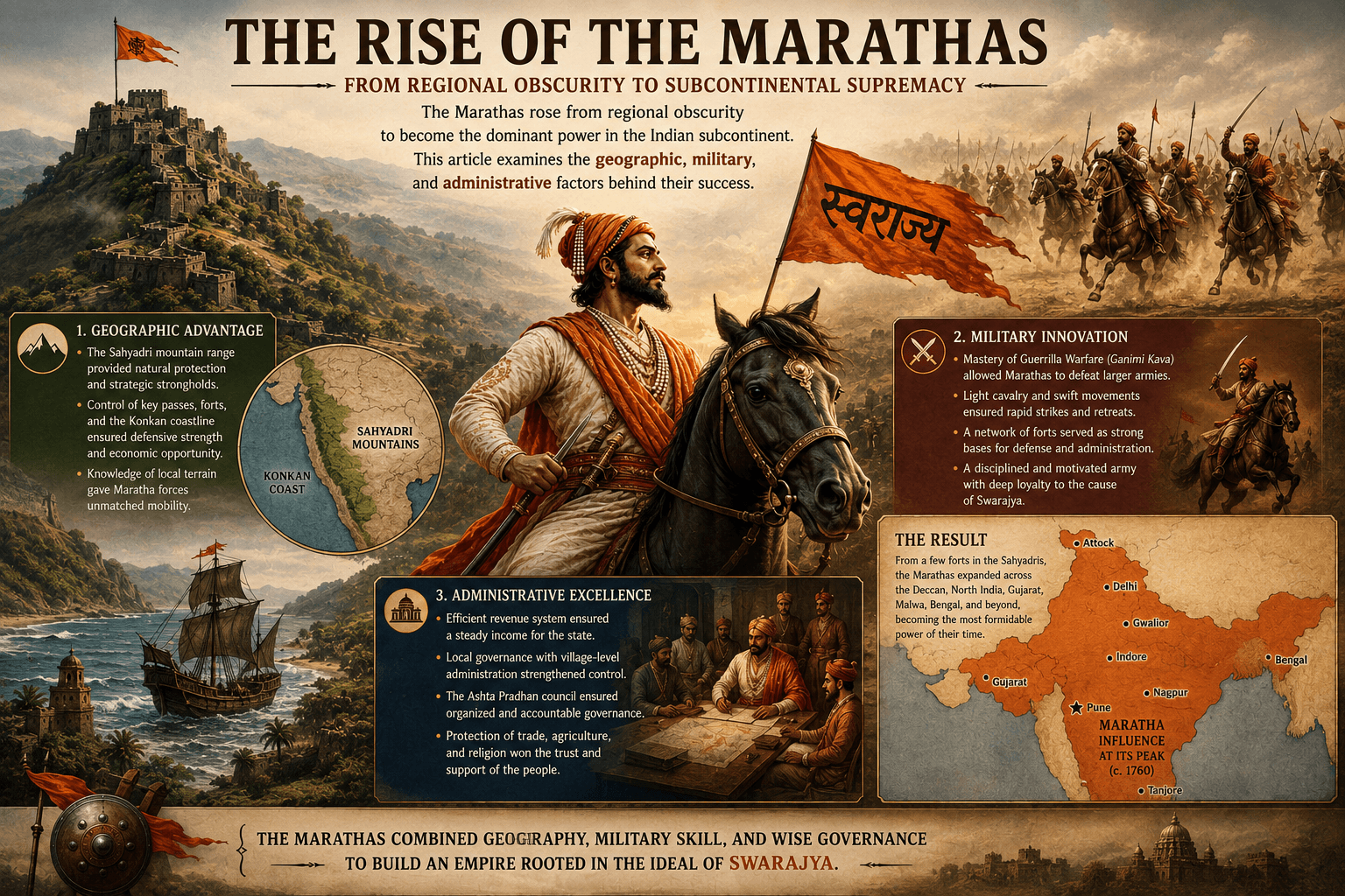
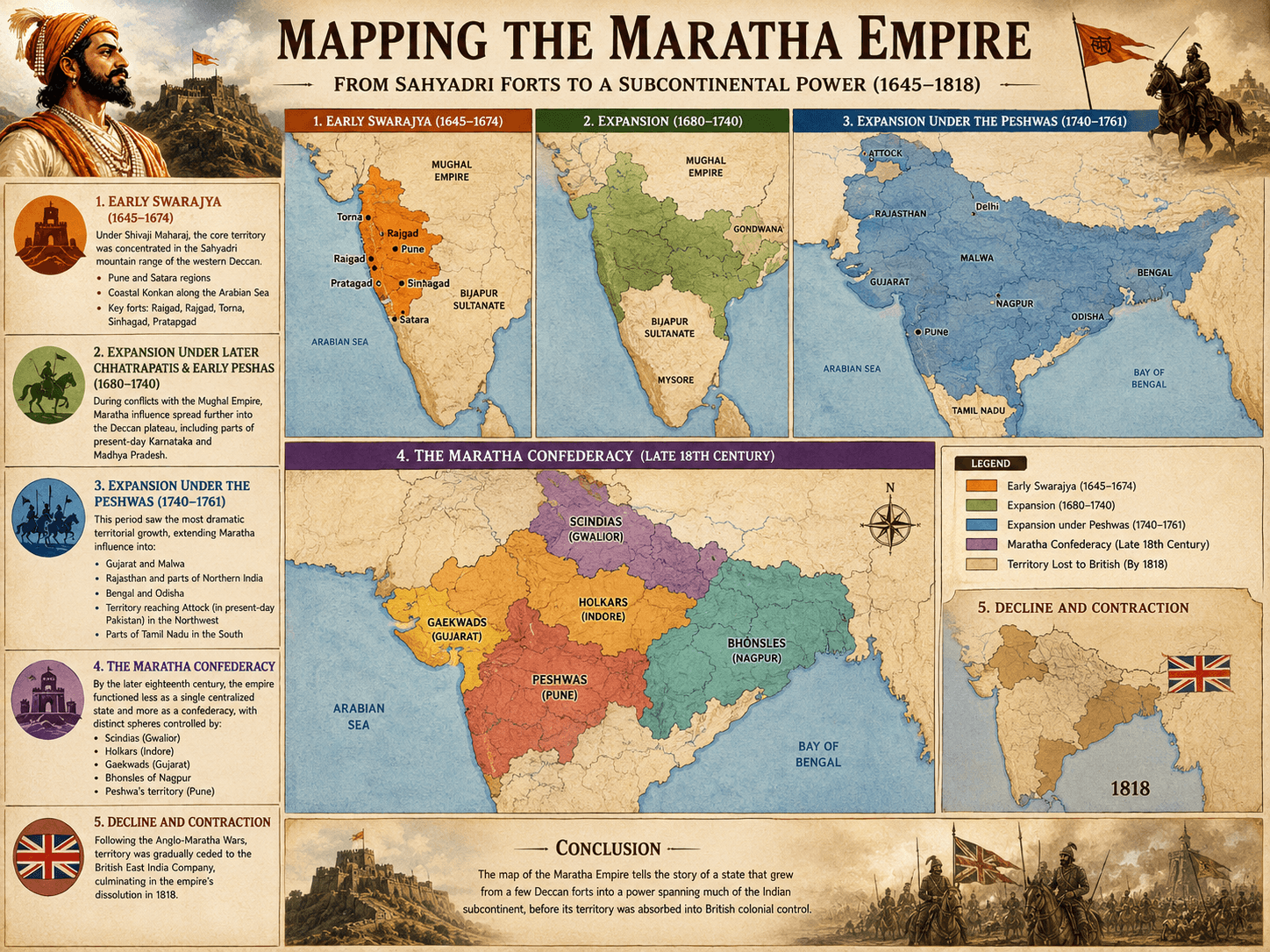
Mapping the Maratha Empire is not a single snapshot but a story of continuous territorial change across nearly two centuries. Its borders shifted as Swarajya grew from a cluster of Sahyadri forts into a subcontinental power.
Early Swarajya (1645–1674)
Under Shivaji Maharaj, the core territory was concentrated in the Sahyadri mountain range of the western Deccan, including:
- The Pune and Satara regions
- Coastal Konkan territories along the Arabian Sea
- Key forts such as Raigad, Rajgad, Torna, Sinhagad, and Pratapgad
This compact but well-fortified territory formed the geographic core of the empire for decades.
Expansion Under Later Chhatrapatis and Early Peshwas (1680–1740)
During conflicts with the Mughal Empire, particularly under Aurangzeb, Maratha influence spread further into the Deccan plateau, including parts of present-day Karnataka and Madhya Pradesh, as Maratha commanders adopted mobile, fort-based campaigns across a wider area.