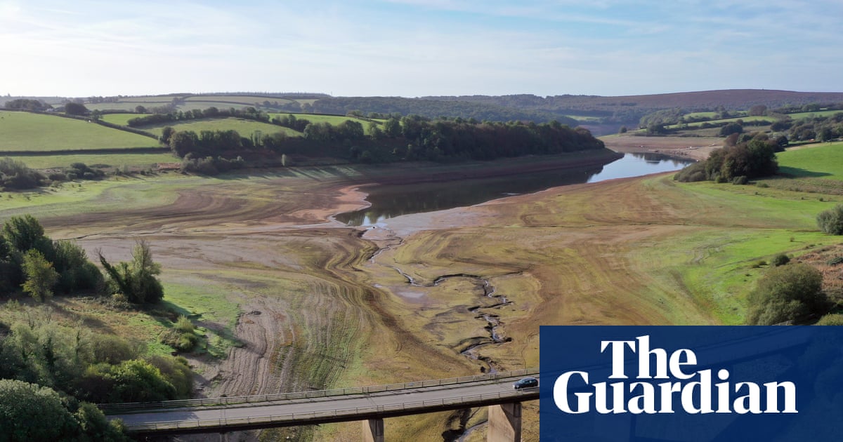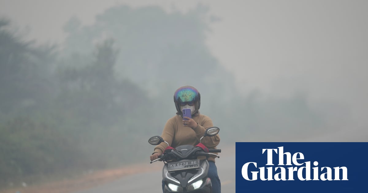

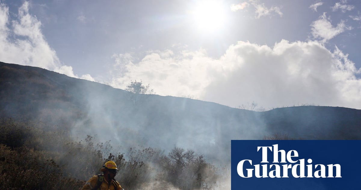
Communities across California are bracing for more dangerous weather this week, with strong winds and high temperatures that could set the stage for rapid wildfire growth over the next several days. The National Weather Service issued a forecast on Thursday warning that a moderate to strong Santa Ana wind will bring widespread strong winds and critical fire weather conditions to much of south-west California through Saturday.
Weather Forecast
Strong, dry winds could reach 20-40 mph (32 to 64 km/h), with gusts from 50-70 mph in the San Gabriel mountains in Los Angeles County and the Santa Susana mountains, which are mostly in Ventura County. Critical fire weather conditions are also forecast for portions of the Santa Lucia mountains in San Luis Obispo County.
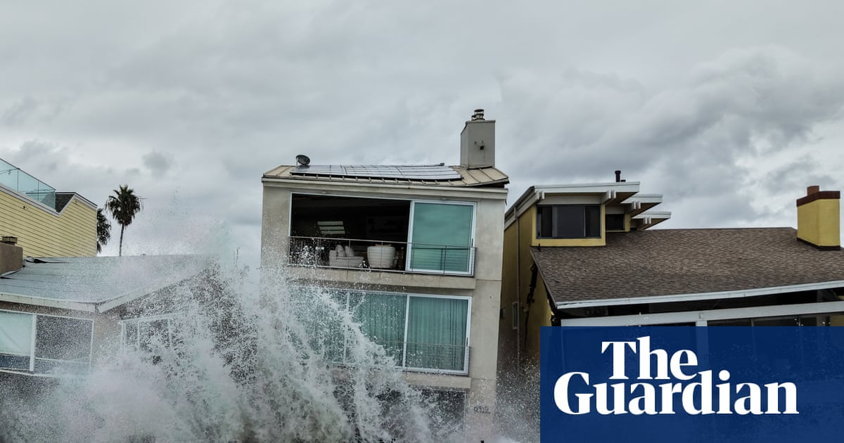
The elevated risks come amid a tumultuous start to autumn that has already brought severe heatwaves, high surf, and flooding. Experts warn that this may just be the beginning, as destructive conditions fueled by a potentially historic El Niño brewing in the Pacific will continue to mount through the end of this year and into next.
Impact of El Niño
The impacts of El Niño have already raised sea levels, increased temperatures, and supercharged storms in the Pacific, layering on top of natural hazards and those fueled by the human-caused climate crisis. The so-called Santa Ana winds in this week’s forecast are expected during this time of year, along with higher fire dangers that typically linger in the state through November.
However, following the recent storm surge that battered the California coast, the weather whiplash has left residents reeling. With the threat of fire, heat, and sea level rise colliding, Kevin McGowan, the director of LA’s office of emergency management, urged residents to be ready. He stated,