
Images from a New Zealand aerial survey of Nikumaroro in 1938 offer new clues over aviator’s disappearance.
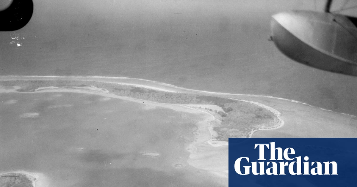
A New Zealand museum has released nearly 50 photos from a 1938 aerial survey of the island where Amelia Earhart is believed to have crash-landed. This release provides amateur sleuths with new evidence to search for traces of the pioneering aviator and her plane.
The black-and-white images were published by the Air Force Museum of New Zealand following renewed interest in one of the biggest mysteries of the 20th century. This interest was spurred by a US expedition to the Pacific atoll of Nikumaroro in search of new clues.
While some low-resolution copies have been uploaded on blogs, the Air Force Museum of New Zealand stated it had received several requests for the photos and has released the full set of 47 images in digital high-resolution format on its website. The negatives were discovered more than a decade ago by Matthew O’Sullivan, the archivist and keeper of photographs at the museum in Christchurch.
A Goldmine of Evidence
Ric Gillespie, Earhart’s most prominent investigator, described the images as a “goldmine” in his blog. He noted that they represent a complete set of aerial photos taken on 1 December 1938 by an amphibious biplane during a New Zealand survey of Pacific islands looking for suitable airbase locations.
What happened to Earhart and her navigator Fred Noonan when they disappeared on 2 July 1937 during an attempt to circumnavigate the globe at the equator has been a stop-and-start search over eight decades, filled with false leads. A leading theory suggests that the aviator, who broke several records including becoming the first woman to fly a nonstop solo trip across the Atlantic, ran out of fuel and was marooned on Nikumaroro, then known as Gardner Island.