
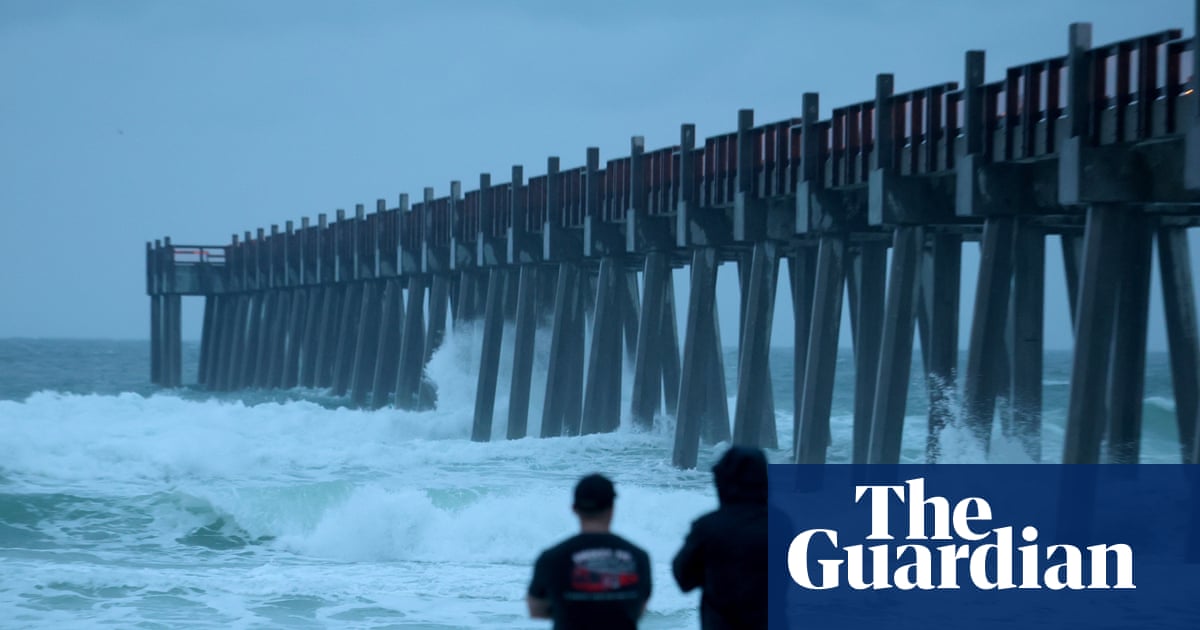
States of emergency have been declared in Alabama, Florida, and Mississippi as Hurricane Isaias strengthens into a category 3 storm, threatening the US Gulf coast. The hurricane, which is the first in the Atlantic during a notably late 2026 season, is expected to cause a "life-threatening storm surge" according to officials.
Storm Details
Isaias is forecast to make landfall on Friday night along the Alabama-Florida line, with surging seas reaching up to 7 feet (2.1 meters) and waves as high as 30 feet (9.1 meters). The National Oceanic and Atmospheric Administration (NOAA) has issued hurricane warnings for portions of the Florida panhandle, southern Alabama, and southern Mississippi, advising residents to prepare for potential long-duration power outages.
Expected Impacts
- Damaging hurricane-force winds are anticipated in affected areas.
- A storm surge is expected from southeast Louisiana to Suwannee, in northeast Florida.
- Isaias could bring up to 15 inches (380mm) of rain to coastal regions and may spawn tornadoes from Alabama to the Florida panhandle and southwestern Georgia.
Heavy rain began falling along the coast on Friday morning, with winds picking up sharply. Tropical storm conditions are expected by early afternoon. As of Friday morning, Isaias had maximum sustained winds of 105 mph (169 km/h) and was moving north-northeast at 15 mph (24 km/h), centered about 230 miles (370 km) south of the mouth of the Mississippi River in Louisiana.